Wednesday, July 27, 2016

Day 10: From Glencar Lough to the Great Western Greenway

Sunday June 12

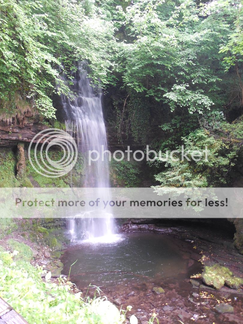
The next day was grey when we set out, but the weather varied wildly throughout the day, in, as we were learning, a typically Irish way.   Our guides once again efficiently issued us umbrellas as we piled out to view the Glencar waterfall, with undampened enthusiasm. 
We took the circular path that led looped up alongside the waterfall and then back down to Glencar Lough.  Lough is pronounced like the Scots "loch", or sometimes with the terminal 'ch' softened even more, and of course it means lake.  Glencar Lough is a small freshwater lake, surrounded by hills and scenic sheep.  No doubt the sheep were arranged for our benefit.  
When we reached our lunch stop in Ballina, the weather was clearing noticeably.
We surveyed our available lunch options -somewhat less extensive on a Sunday- but found a nice litte cafe and ate quickly so we could explore.  
According to the informative plaque we found along the river, Ballina is a center for sport fishing- salmon.  Their pedestrian bridge (above) is designed to convey the impression of a fishing rod, drawn back to cast.    And lest we think that this was mere hyperbole- 
- we did indeed see people fishing, and catching fish!  Although I believe from the stance of the second man, that the size of the fish is getting larger before they've even got it to shore (he appeared to be rehearsing the tale of how it was caught). 
It was a quite pretty town, and we had to tear ourselves away and walk briskly to get back to the bus in time.

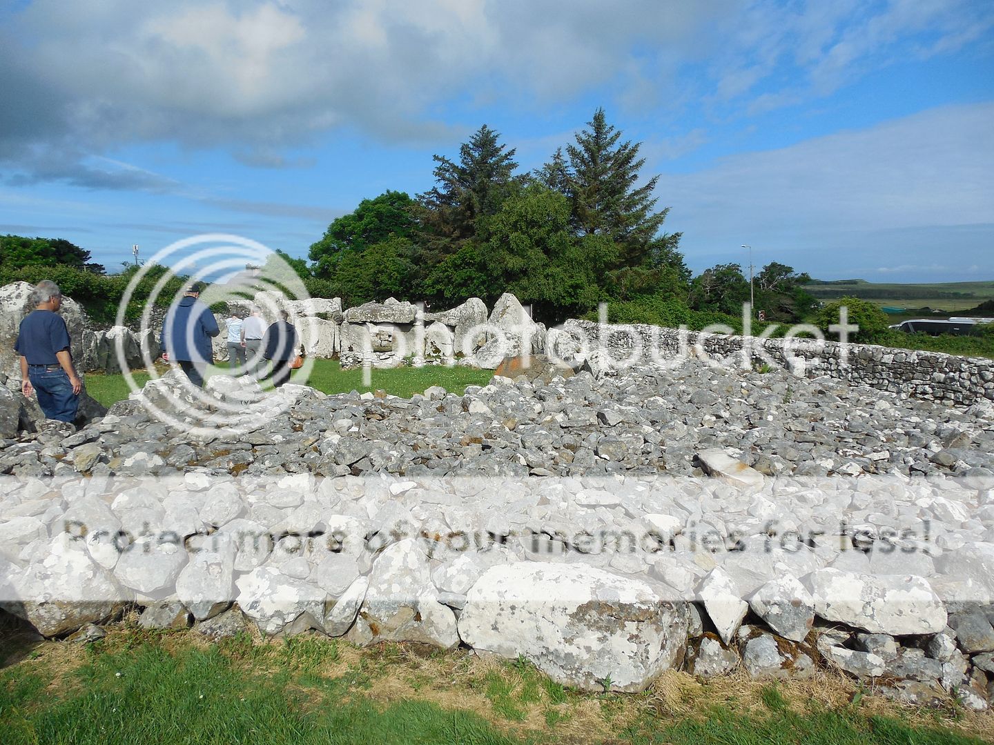
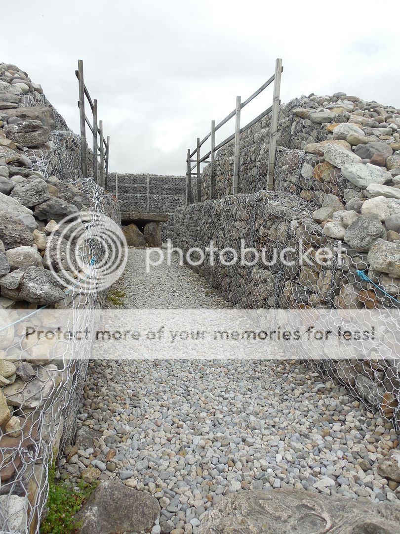
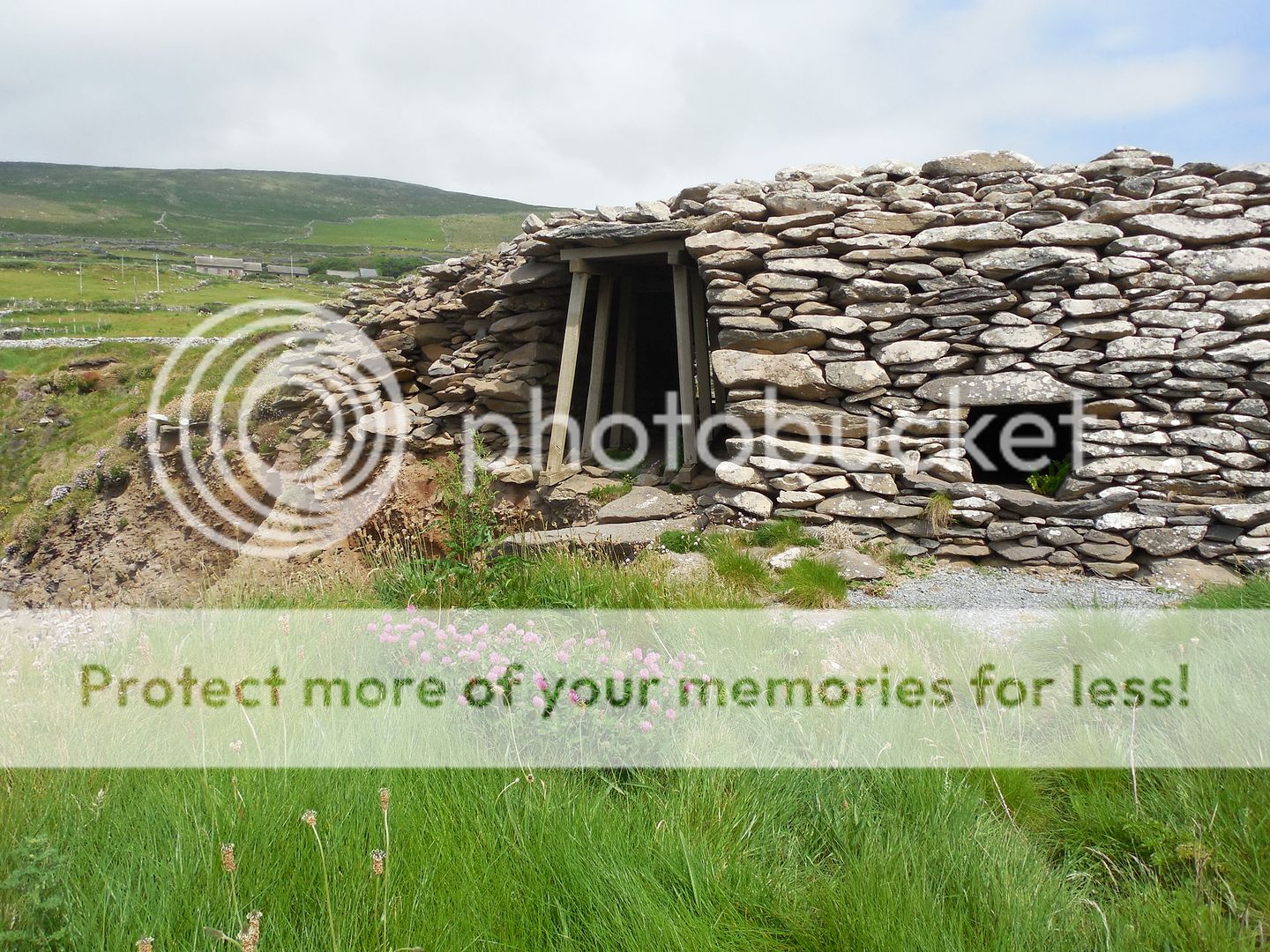
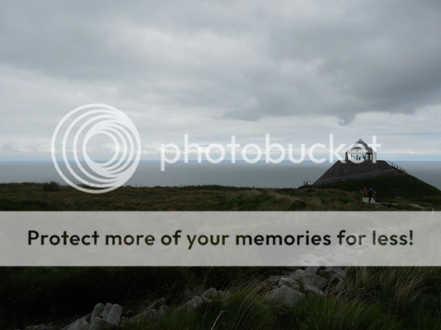
From their we went to a historic site called Ceide Fields, which will take some explaining.   After the ice sheets receded from Ireland around 12000BC,  people began moving north in the wake of the ice.  The first people were hunter-gatherers, but around 4000 BC, new people arrived, practicing the newfangled art of agriculture.   And some of these people settled at the site of Ceide Fields.  They build in stone and wood, and walled in numerous fields used for grazing cattle and growing crops.   The site was inhabited for several hundred years, and then the bogs came.  The site became less and less fertile and was abandoned.  Over time the bog covered it over.  It was rediscovered in the 1930s by a farmer cutting peat.  He immediately realized that he had found something significant- the bog had taken thousands of years to form, and yet he'd found stone walls underneath it.   Forty years later, the farmer's son, now an archeologist, started the excavation of the site.  It is several square miles in area, and represents the oldest known field system in the world. 
Unfortunately our tour was cut short, as by then the wind was fairly blasting in from the coast driving drizzle and occasional bursts of rain before it.  
This did give us ample time in the quite excellent visitors center, however.   They had a remarkable exhibit on the mechanics of bog formation.  Bogs form when water is caught standing on the landscape, and seals in successive layers of vegetation anaerobically- things need oxygen in order to decay.  Had the bog been left alone for a few million years, the bottom layers would have eventually become coal.  

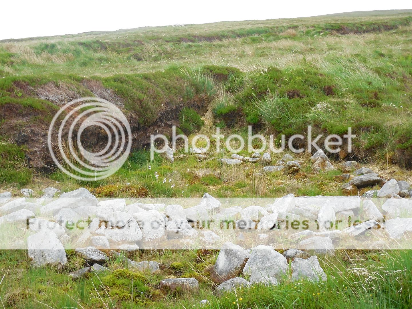
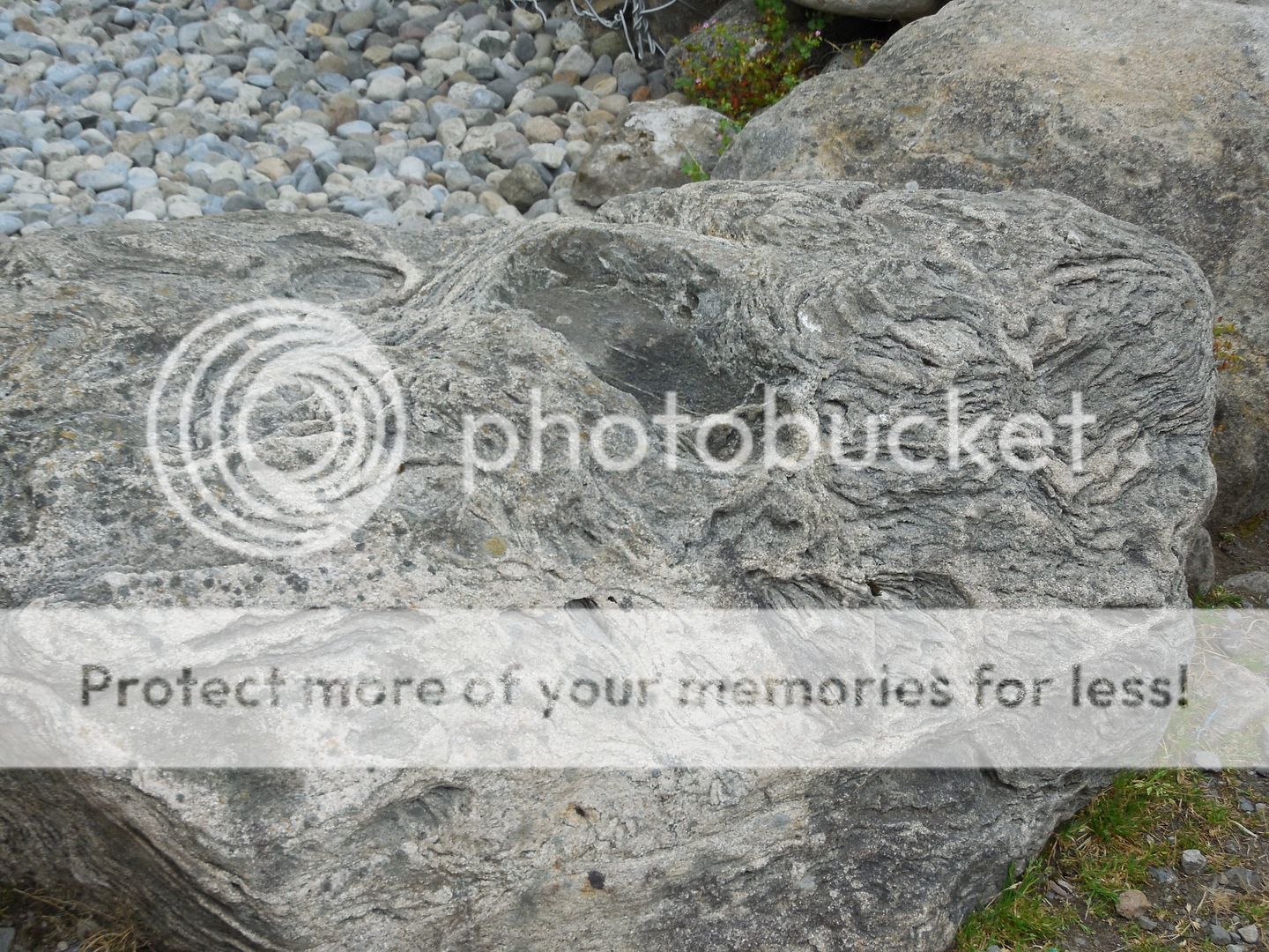
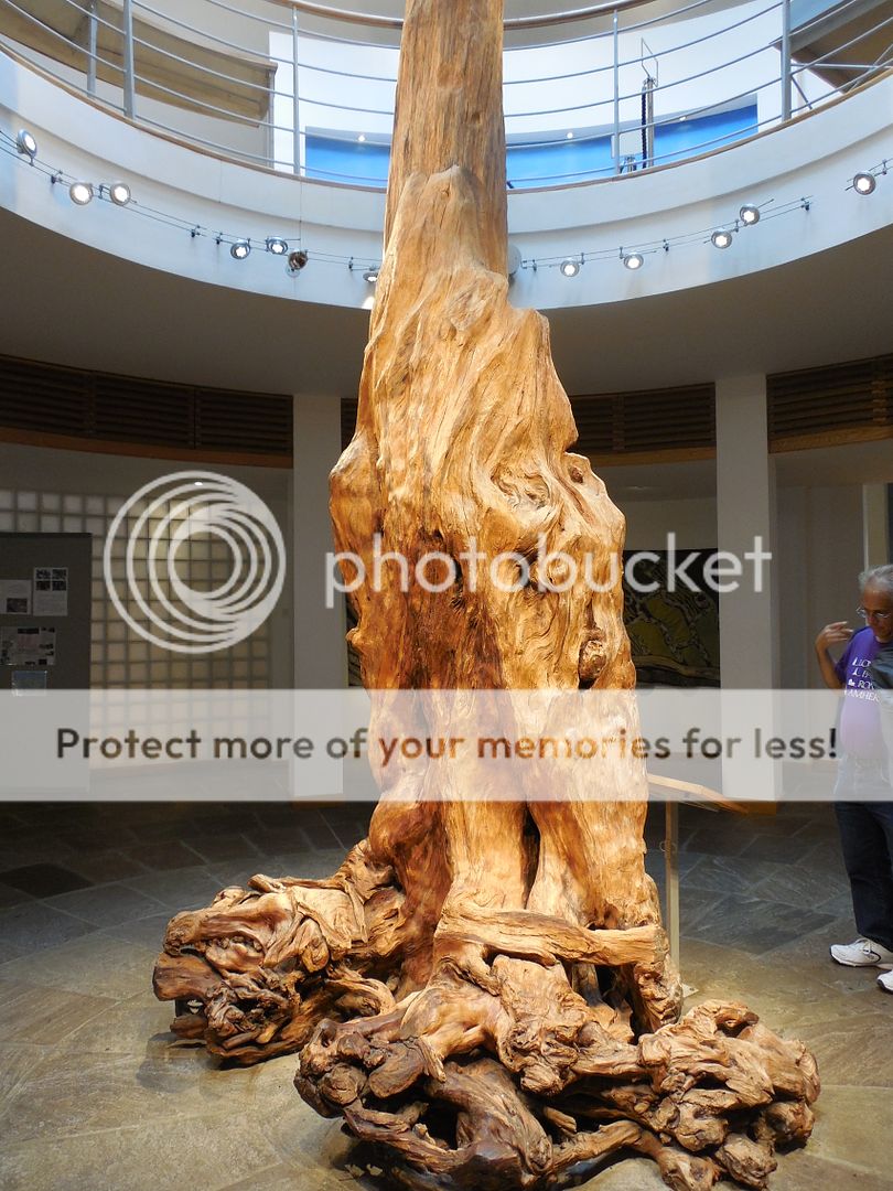
What was fascinating to me, is that it's quite possible that the farmers themselves triggered the bog formation when they cleared the land.  Before they came, the land was covered in thick pine forests that would have absorbed much of the water that fell on the land.  After it as cleared, that ran fell on the land.  Several feet below the surface of the site is an iron pan, a layer of iron salts.  These might have occurred naturally- exacerbated by the additional water hitting the site- or they might have been made worse by the charcoal washing through the soil after the original woodland was burned to clear it.   Regardless, the site became gradually barren and was left to be covered over in a state of almost complete preservation by the bog.  Any remaining pines were drowned and then buried.  This amazing example stands in the visitor center- 4500 years later.  
If you're interested, I recommend this lovely article that the New York Times published on it some time back- they evocatively described Ceide Fields as "a Pompeii in slow motion".  By the sound of it, the NYT writer's tour took place in the same weather that we had.  

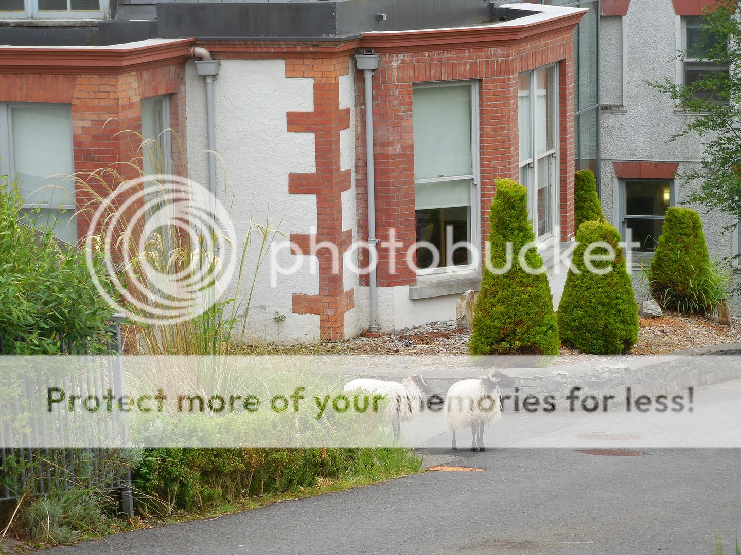
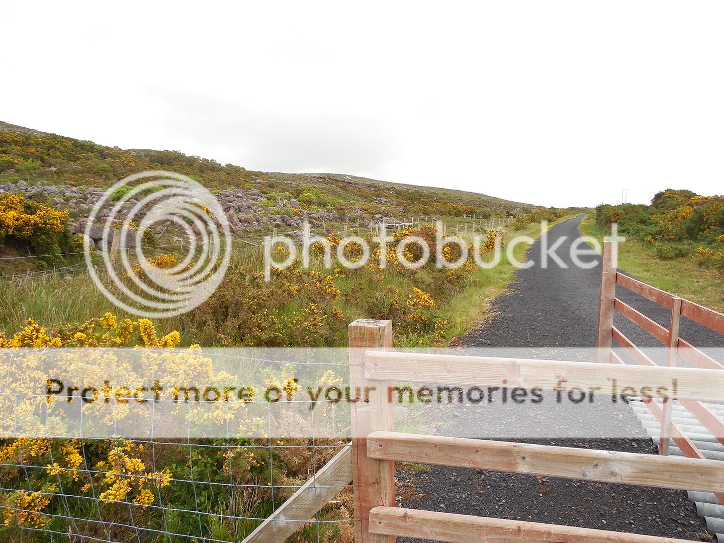
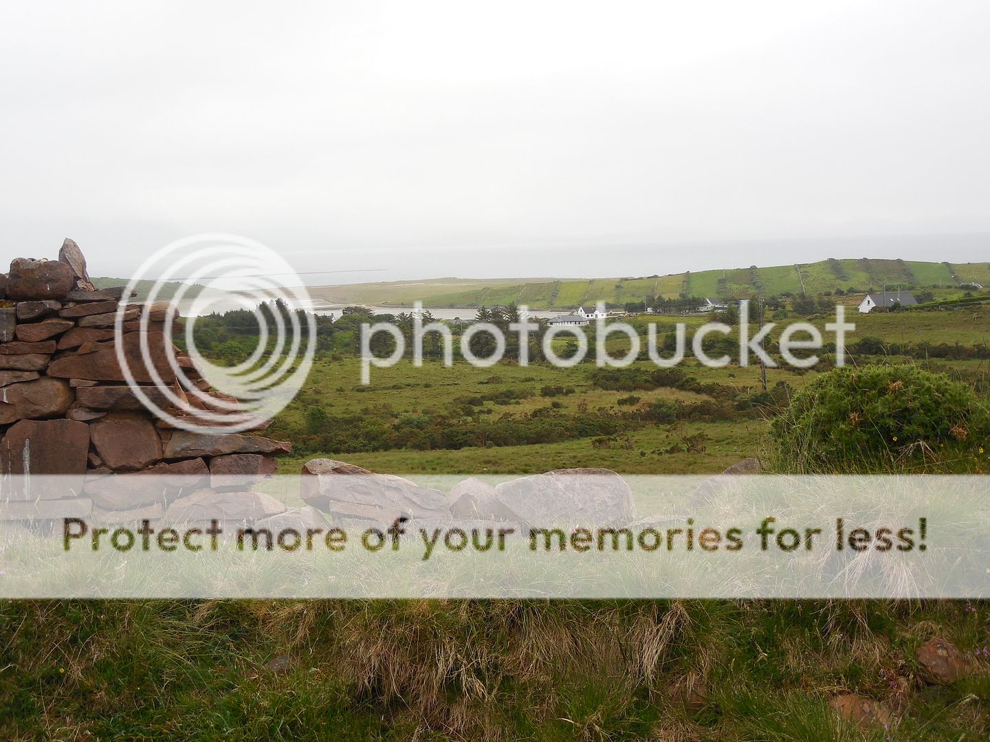
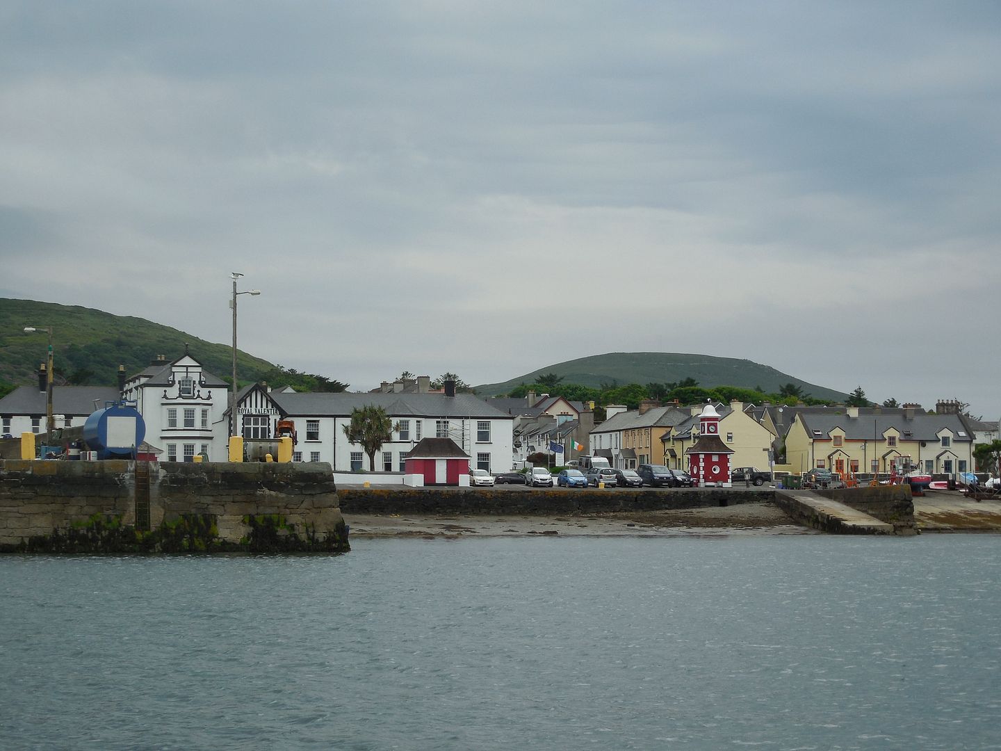
And yet by the time we reached our hotel in Mulranny, overlooking Clew Bay, the weather had substantially cleared.   The hotel was gorgeous, with spacious rooms and a bathroom bigger than some hotel rooms we've stayed in, tiled in locally quarried slate.   We joked that if any of our fellow tourers were late to dinner we'd have to notify the staff to send out search parties in case they'd gotten lost in the bathroom.    But we did have over an hour until dinner, and the rain had stopped, so we set off in search of the rumored bike path.    We did run into some other guests, but they didn't seem to know where we would find it. 
However we located it on our own easily enough. It's part of the 42 km (26 mile) Great Western Greenway, a rail trail following the route of the former Great Western Railway.  And it's absolutely fantastically gorgeous.  From the views of Clew Bay- 
To brilliant swathes of gorse lining the path- 
To the fields and cottages laid out along the trail in pastoral splendor. 
It started misting gently as we were on our way back to the hotel, but held off the actual rain until we were undercover.  And then it was another splendid dinner followed by music.

Monday, July 25, 2016

Day 9: Megaliths and Innisfree

Saturday June 11
For our second day of the tour we were slated to see sights in the general vicinity of Sligo.   Sligo is has two massive landmarks- the hill of Knocknarea, topped by Queen Maeve's cairn, a large mound believed to contain a passage tomb (like the one we saw at Newgrange) though it has never been excavated.   The second landmark is the rock formation of Benbulbin, which we often glimpsed in the distance as the bus moved from site to site.


Benbulbin

Our first stop was the court tomb of Creevykeel, a vast structure surrounding a dolmen, a single chamber tomb marked by two or more upright stones capped by another 'table' stone.


The sight also had a vast hawthorn grove of 'blessing trees'.  The custom is to tie a bit of fabric around the tree as a wish for ones own health or that of a loved one.  Note all the strips of fabric tied to the branches.


From there we passed close to the coast, with a brief photo stop.  The scenery was stunningly beautiful


Next was Drumcliff Churchyard, a lovely little church and the burial place of William Yeats.  This was to be a very Yeats-heavy day.


Our next stop was the megalithic tomb complex of Carrowmore, where we had a fascinating tour.  


He told us that the central tomb area had been heavily reconstructed (as had the exterior of Newgrange).    At the entrance is a 'footprint stone'


As with Newgrange and many other major tomb complexes, it sits on a hill, with lovely views in every direction.


There was a lunch break in Sligo, and then we set out for our last two sights of the day at Lough Gill. The first was Parke's Castle, a plantation era castle.  In this context plantation refers to English settlers who were offered land in 16th and 17th centuries after the conquest of Ireland.  In 1610 Robert Parke built a fortified manor house on the site of an ealier O'Rourke castle.   He kept some of the original walls and the base of the original tower can be seen in the courtyard of the castle today.


The prior O'Rourke owner was executed and all his property confiscated for harboring a shipwrecked Spanish officer from the Armada...who of course would have been a fellow Catholic.

The interior structure of the castle was extensively restored at the end of the last century, with appropriate period building techniques used throughout.   The structural elements were left exposed so that visitors could see them.  We duly admired the timber roof (done entirely without nails).


And also got to see the inside of a thatch roof.


As romantic as thatched roofs look from the outside, as described they are not for the faint of heart, as it involves living with a whole ecosystem overhead.   The roof timbers were made from local trees, then the smaller rods were laid perpendicular to support an underlayer of turf that was cut, rolled up, and then unrolled across the roof in long strips.  Smaller branches were bent into a U-shape and used to anchor each sheaf of thatching material- of which there are a variety of varying quality and longevity.    Ordinarily, the inside of the roof would be covered, but this, like the castle timbers was left open so the structure could be seen.  They did have to cover the outside with very unperiod chicken wire, however, to discourage the birds from burrowing through the thatch and nesting inside the building.


The tour finished with a walk through their permanent exhibit on Irish vernacular architecture- that is buildings that were built over the ages by the people who lived them or used them.  A remarkable number of these still exist, many of them still used as houses, barns and outbuildings.

We barely had time to do it justice, however, as our last event of the day was a boat tour around Lough Gill, most famous as the site of the Lake Isle of Innisfree from Yeats's poem;
"And I shall have some peace there, for peace comes dropping slow,
Dropping from the veils of the morning to where the cricket sings;
There midnight’s all a glimmer, and noon a purple glow,
And evening full of the linnet’s wings."


It was easy to see why Yeats loved the place.  The boat captain recited several of Yeats' poems for us from memory as we cruised around.

And then it was back on the bus to Sligo, and an excellent dinner, and more music in the evening. This time our guides were joined by uillean piper Tommy Keane with his wife Jacqueline McCarthy on concertina.   They were outstanding.  Naturally we got a CD.


And when we returned to our rooms, we found that our laundry (which we had dropped off in the morning) had been returned.   Now, we had opted for the cheapest (though still expensive) bulk laundry option, and frankly we wouldn't much have cared if the laundry was even folded, so long as it was clean.  But it was not just folded, it was pressed with military precision- even the T-shirts and JT's jeans.  And organized by color.  Even the ancient long-sleeved denim shirt I'd brought as an extra layer was meticulously pressed, put on a hangar and sheathed in a long plastic cover.   None of these clothes had looked so good since we had bought them!  JT and I were almost sorry that they had to be rolled up and put straight into our backpacks- but we did it anyway, because in the morning we were to check out and head out to the coast, and eventually to our next hotel in Mulranny.


Tuesday, July 19, 2016

Day 8: Quiet (Man) Day

Friday June 10

It was our first day on the tour and and the first truly wet weather we'd seen, which we could only consider a fortunate coincidence.  We didn't even have to load our own luggage- it was all done for us.  It was also one of the longest travel days, as the plan was to go to the northernmost point of travel and return down the coast.  As we were to find, the trip routine was to drive, have a rest-and-coffee-stop somewhere scenic, proceed to a lunch spot, etc, until we reached our destination.  Our first stop of the day was in Cong, which was where John Ford's 1952 film, The Quiet Man, was filmed.   Despite the wet, we quite easily spotted numerous 'Quiet Man' themed businesses, cafe, tours, gift shops.  Naturally we were soon trying to come up with the most ridiculous possibilities- Quiet Man fudge, Quiet Man port-a-potties, Quiet Man parking garage, etc (needless to say we didn't actually see any of these!).   
Cong also features a ruined medieval abbey where Rory O'Connor, the last High King of Ireland spent his last years.  The tour having kindly provided umbrellas, we did not let the gentle rain dampen our urge to explore. 
Behind the abbey, a footpath led off along the river.  We didn't have time to explore more than a bit.  My favorite bit was the monk's fishing hut.  Clearly they preferred to fish in comfort.
From Cong we wound our way to Foxford, home of Foxford Woollen Mills.  Which to my disappointment was not actually a working mill, but rather a gift shop displaying a range of Foxford Mills products.  Which, I hasten to add, were lovely.  If I'd been a keen shopper, no doubt I'd have gone wild.  As it was, I confined my mercantile ambitions to the cafe, which was quite decent.   This was the only time on the tour we weren't just cut loose and find our own lunch spot, no doubt for logistical reasons.   We did finish up and take a quick turn around the town, enjoying the improving weather. 
We also stopped in to a small museum honoring the accomplishments of Admiral William Brown, a local boy who went to sea to seek his fortune, and wound up the commander in chief of the Argentine navy, and an Argentine national hero.  It's an amazing story- right up there with the best seafaring adventure tales. 

After lunch it was another long drive through showery countryside to Sligo.   We frankly dozed.  Between drive, our exertions of the prior days and the soporific patter of rain on the bus, it was just the thing to do.   It did however clear up in time for us to do a little exploring of Sligo before dinner. 
A delightful small city, and very lively.  Walked around and got a look at Sligo's own ruined abbey. 
We were charmed to notice the Celtic designs on even such mundane items as pipe covers in the street. 
We only had time for a quick survey, however before it was time to head back to the hotel for dinner, and our first night of music.  

Our guide, Robbie O'Connell played guitar and sang with his sister Alice also playing guitar, and her husband Sean playing fiddle.  They were all three excellent.   We'd started the day wondering if we were really 'tour' people- we're so used to wandering around on our own.  We had already started to appreciate some of the benefits of having someone else do the work of organizing it.
  

Day 7: Sea Dancers

Thursday June 9


The next day was lovely and clear and we mailed postcards and then set off to take a ramble out of town in the direction we hadn’t yet been.  The views were lovely, but we eventually came to a point where to continue we’d have had to walk on a rather busy road, so we turned back.  
After a light lunch we walked down by the harbor and spotted a sign for a harbor cruise that was due to leave in only a few minutes, and would return just before it was time to catch our shuttle for Shannon.  
The boat was inflatable and had a sort of saddle arrangement on which you sat astride.  This turned out to put stress on the same hind parts that were stiff from bicycling the day before.  But we were soon distracted by the views out over the water.


On the way out of the harbor, we saw the  famous Dingle dolphin Fungi, who for many years has made his home there.  At that point the captain opted not to take us out in the direction of the Blasket Islands- where seals had been seen the day before- because the conditions there were reported to be too rough.   Instead we went to Knight's Town on Valentia Island, on the next peninsula over from Dingle, but vastly different.  It was a quiet town with a large dock.  The coffee shop there appeared quite flustered at having more than one customer at a time.  
On the way back, we spotted a large pod of dolphins, probably 30 or so.   I had read about how dolphins will play around a boat, coming quite close, but had never before seen it.  It seems hard to imagine any other reason for them to act as they did except that they were having fun.  They darted along the boat, leaping out of the water, sometimes in twos or threes, criss-crossing at both the bow and the wake.  They came so close to the boat that at times they were only a few feet away.  When the boat sped up, so did they- they’re incredibly fast and graceful.   They followed us in to the harbor, twice more leaping about exuberantly for several minutes as they followed us in.  
A shower came up and it rained a bit as we came in, but no one minded after the dolphins.  The sun came back out as we stepped onto shore and we headed back to grab our luggage and get our shuttle.  

Our driver Frank was very personable, and we chatted all the way to Shannon, where we checked in and met up with some of the tour folks in the evening,  as we got ready to set off on the next phase of the trip.

Sunday, July 17, 2016

Day 6: Slea Head

Wednesday, June 8


We enjoyed an excellent breakfast and then headed out to rent bicycles for the day’s travels.  The weather was good for cycling- cool and a bit overcast so we didn’t bake in the sun.   We took the coast road around the Dingle peninsula, and around every corner was yet another fabulous view- scenic farms, dramatic cliffs and ocean, islands off the coast and promontories.  
We made several stops.  The first was the ancient promotory fort of Dunbeg.  Like many such constructions, they aren’t really sure what it was used for.   We were welcomed however by a very friendly young cat named Chester, who accepted chin scratches gracefully and eagerly, and didn’t trouble himself to rise from his laid back position when we moved along.
Next stop was the Blasket Center, a center devoted to the Blasket islands, which were a last bastion of Irish culture and language in the late 19th and early 20th century.  A number of scholars went there to study the Irish language and learn about the culture- and in a slightly unusual turn of events wound up inspiring a number of the islanders to wrote their own stories, both in Irish and English.    In the meantime, the population of the islands continued to decline, as young people left the island for the mainland, or for America.   Somewhat to our surprise, we found that many of the Blasket Islanders went to Springfield, Holyoke and Chicopee Mass, which are very close to where my husband grew up.


In the 1950s, the population had declined to less than 30 people, and the Irish authorities decided to evacuate the island, as  it was no longer economic to provide services to the people living there.   We had learned about this from a beautiful and haunting song called the Islander’s Lament, by Irish singer/songerwriter Robbie O’Connell (about whom more will be said later).  
View of Great Blasket Island
The Blasket center also featured (surprise, surprise) a gift shop and cafe.  The cafe provided an excellent sandwich and really superior bowl of seafood chowder for our lunch.  Thus refreshed, we pedaled on.  The views continued to be spectacular.
One of the things we had known is that part of the latest Star Wars movie were filmed in the area. There was a certain amount of Star Wars related local promotion:
Our last stop was at the Gallus Oratory, which is a 1200 year old stone church- very small and entirely constructed of dry stone (not mortared)...yet it is in excellent condition and very little changed from when it was built.  We were quite impressed by the engineering of the structure- it’s quite clear that this type of masonry was a highly developed skill at the time.
We also passed on greetings from a co-worker of my husband's to the owners of the site- we had known that her family had emigrated to the US from this area, but it wasn't until our visit to the Blasket Centre that we realized that it was just one strand in the tapestry of connections between Massachusetts and the Dingle Peninsula.


By this time the sky was clearing and our accustomed sunshine putting in an appearance,  We boldly took the slightly longer trip back to Dingle - which wasn’t all that bold, as it was a difference of only 5-6 km- not terribly bad on a bike.  Despite my rental bike missing a few gears, we pedalled back over the low ridge and completed our loop, returning the bikes.   Only a little tired in the legs and numb in the nether regions.  
We strolled back to our hotel to clean up, then acquired dinner and headed back out to the pub, where we cannily snagged a table close to the front and waited for musicians to arrive.  Jonathan played with his new calligraphy pens while I wrote postcards and updated this diary,  until the music started. (This was also when I realized that I had once again managed to acquire a sunburn on vacation. Fortunately not too bad, though I proceeded from redness through peeling during the rest of the trip.)The musicians this evening were led by the pub owner, Tommy O'Sullivan, and friends- fabulous! We were sorry when it ended.
rfholly's June08 album on Photobucket