Sunday June 12
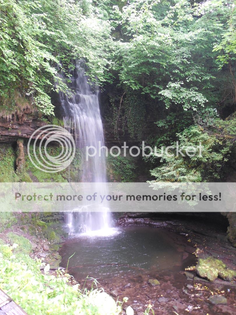
The next day was grey when we set out, but the weather varied wildly throughout the day, in, as we were learning, a typically Irish way. Our guides once again efficiently issued us umbrellas as we piled out to view the Glencar waterfall, with undampened enthusiasm.
We took the circular path that led looped up alongside the waterfall and then back down to Glencar Lough. Lough is pronounced like the Scots "loch", or sometimes with the terminal 'ch' softened even more, and of course it means lake. Glencar Lough is a small freshwater lake, surrounded by hills and scenic sheep. No doubt the sheep were arranged for our benefit.
When we reached our lunch stop in Ballina, the weather was clearing noticeably.
We surveyed our available lunch options -somewhat less extensive on a Sunday- but found a nice litte cafe and ate quickly so we could explore.
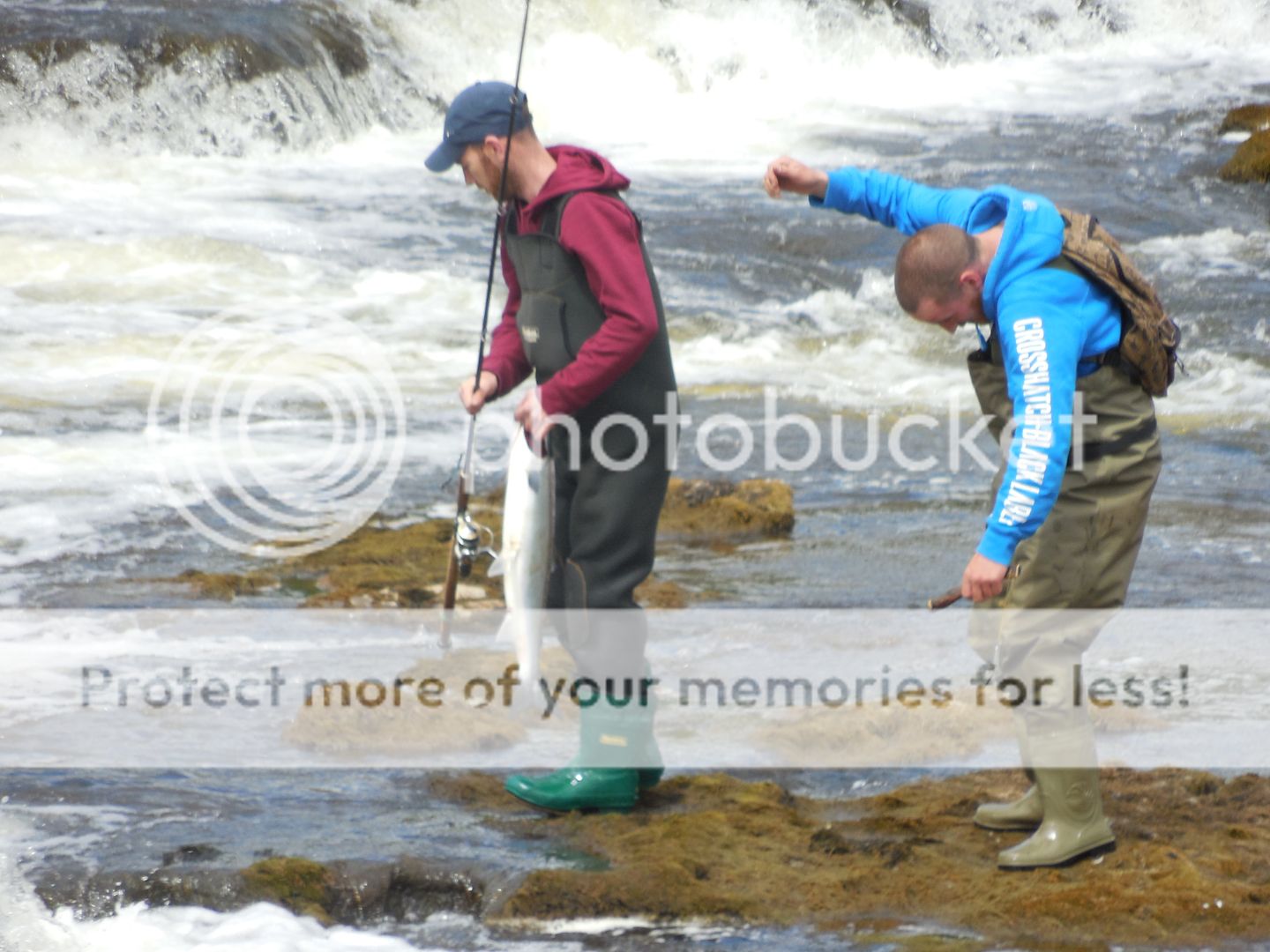
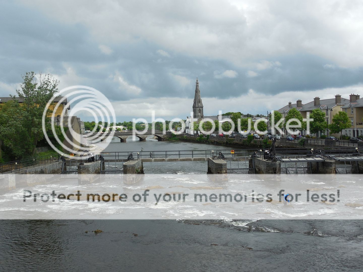
According to the informative plaque we found along the river, Ballina is a center for sport fishing- salmon. Their pedestrian bridge (above) is designed to convey the impression of a fishing rod, drawn back to cast. And lest we think that this was mere hyperbole-
- we did indeed see people fishing, and catching fish! Although I believe from the stance of the second man, that the size of the fish is getting larger before they've even got it to shore (he appeared to be rehearsing the tale of how it was caught).
It was a quite pretty town, and we had to tear ourselves away and walk briskly to get back to the bus in time.
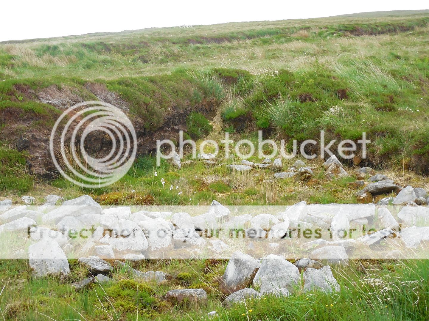
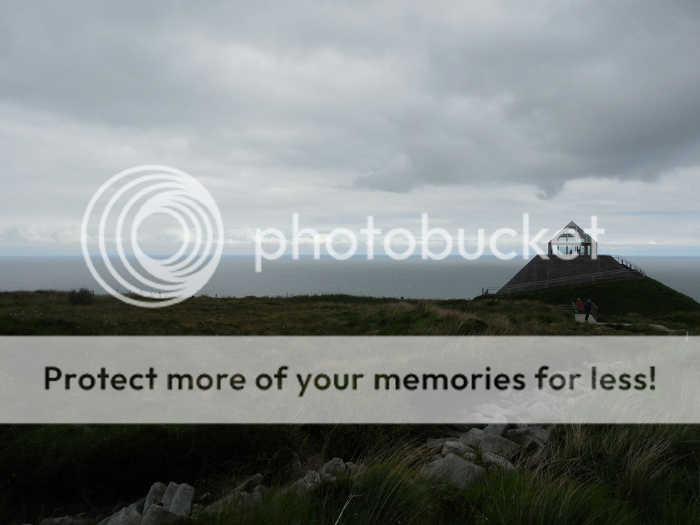
From their we went to a historic site called Ceide Fields, which will take some explaining. After the ice sheets receded from Ireland around 12000BC, people began moving north in the wake of the ice. The first people were hunter-gatherers, but around 4000 BC, new people arrived, practicing the newfangled art of agriculture. And some of these people settled at the site of Ceide Fields. They build in stone and wood, and walled in numerous fields used for grazing cattle and growing crops. The site was inhabited for several hundred years, and then the bogs came. The site became less and less fertile and was abandoned. Over time the bog covered it over. It was rediscovered in the 1930s by a farmer cutting peat. He immediately realized that he had found something significant- the bog had taken thousands of years to form, and yet he'd found stone walls underneath it. Forty years later, the farmer's son, now an archeologist, started the excavation of the site. It is several square miles in area, and represents the oldest known field system in the world.
Unfortunately our tour was cut short, as by then the wind was fairly blasting in from the coast driving drizzle and occasional bursts of rain before it.
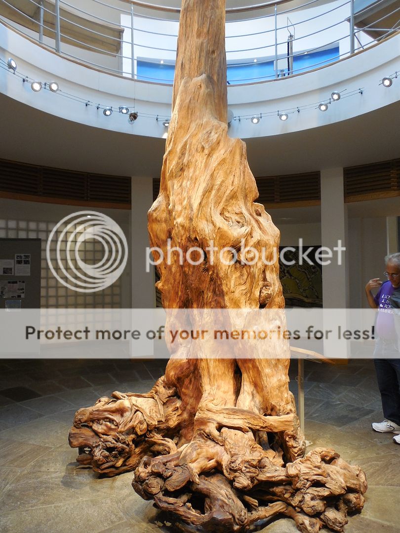
This did give us ample time in the quite excellent visitors center, however. They had a remarkable exhibit on the mechanics of bog formation. Bogs form when water is caught standing on the landscape, and seals in successive layers of vegetation anaerobically- things need oxygen in order to decay. Had the bog been left alone for a few million years, the bottom layers would have eventually become coal.
What was fascinating to me, is that it's quite possible that the farmers themselves triggered the bog formation when they cleared the land. Before they came, the land was covered in thick pine forests that would have absorbed much of the water that fell on the land. After it as cleared, that ran fell on the land. Several feet below the surface of the site is an iron pan, a layer of iron salts. These might have occurred naturally- exacerbated by the additional water hitting the site- or they might have been made worse by the charcoal washing through the soil after the original woodland was burned to clear it. Regardless, the site became gradually barren and was left to be covered over in a state of almost complete preservation by the bog. Any remaining pines were drowned and then buried. This amazing example stands in the visitor center- 4500 years later.
If you're interested, I recommend this lovely article that the New York Times published on it some time back- they evocatively described Ceide Fields as "a Pompeii in slow motion". By the sound of it, the NYT writer's tour took place in the same weather that we had.
And yet by the time we reached our hotel in Mulranny, overlooking Clew Bay, the weather had substantially cleared. The hotel was gorgeous, with spacious rooms and a bathroom bigger than some hotel rooms we've stayed in, tiled in locally quarried slate. We joked that if any of our fellow tourers were late to dinner we'd have to notify the staff to send out search parties in case they'd gotten lost in the bathroom. But we did have over an hour until dinner, and the rain had stopped, so we set off in search of the rumored bike path. We did run into some other guests, but they didn't seem to know where we would find it.
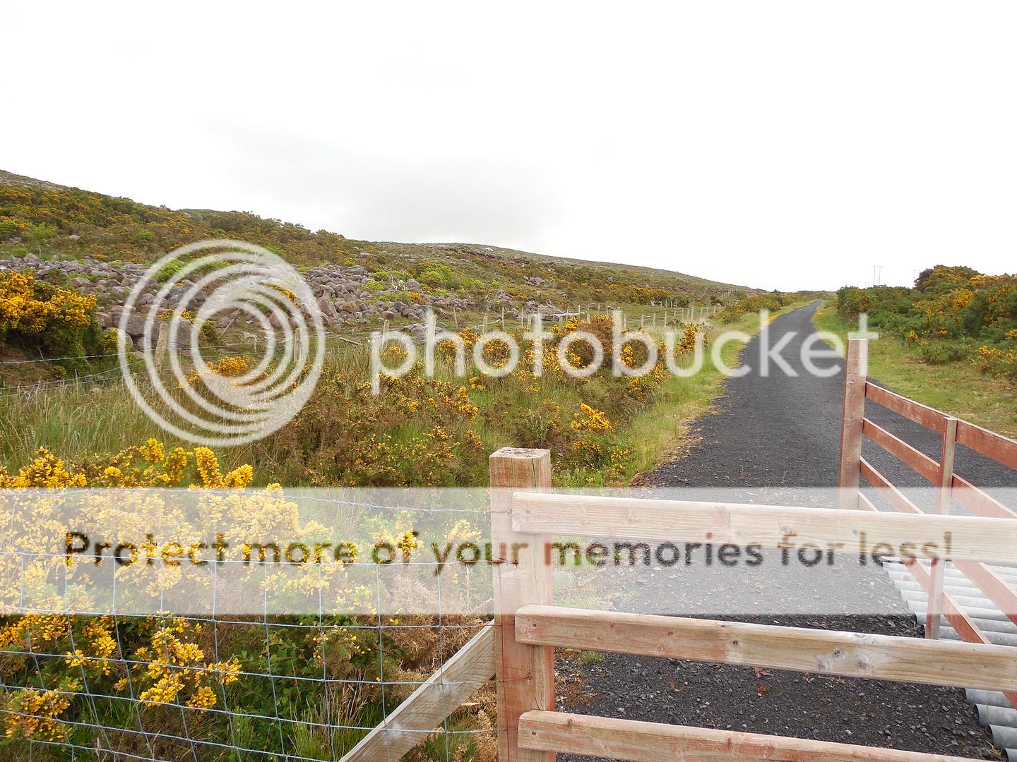
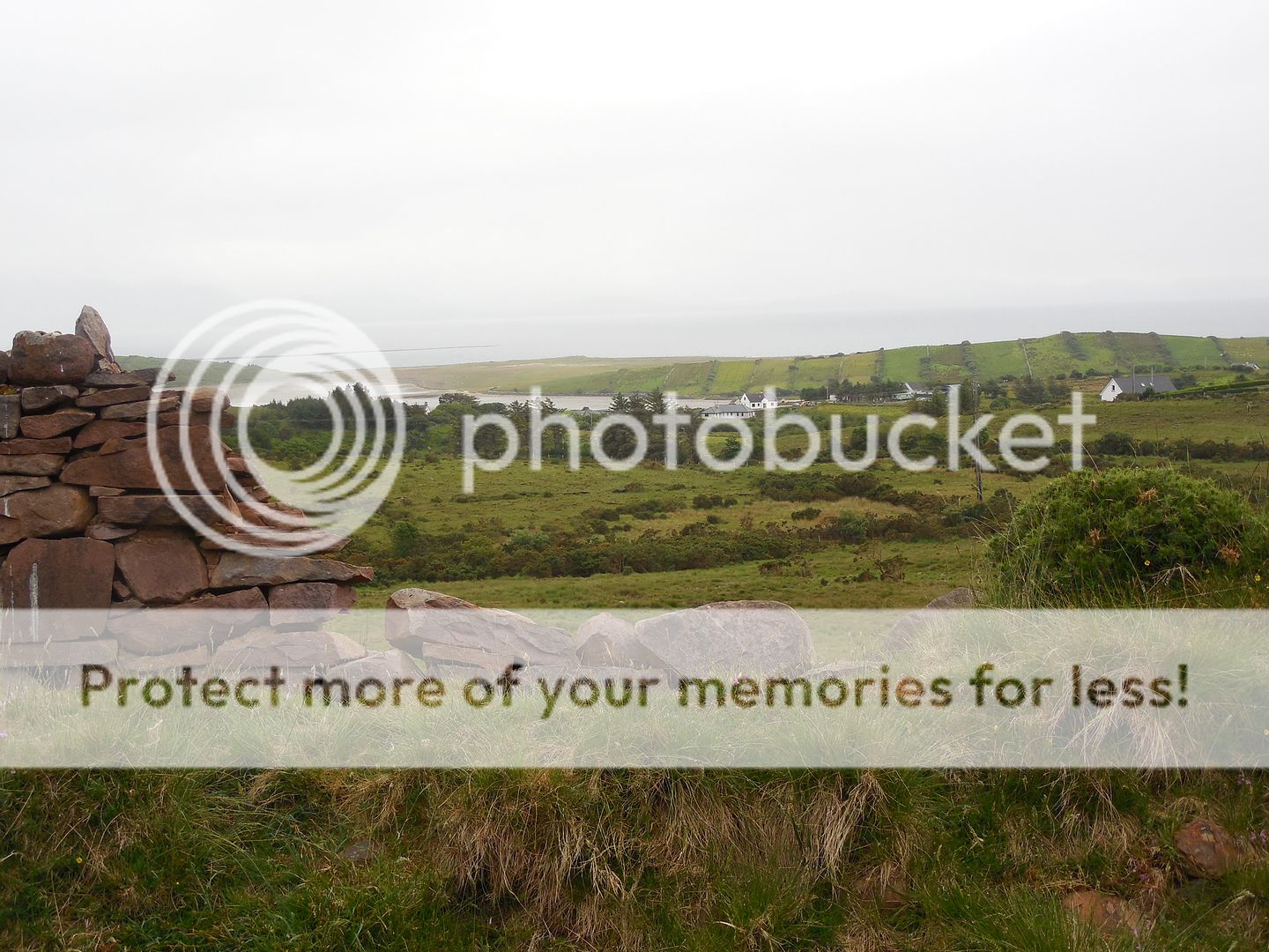
However we located it on our own easily enough. It's part of the 42 km (26 mile) Great Western Greenway, a rail trail following the route of the former Great Western Railway. And it's absolutely fantastically gorgeous. From the views of Clew Bay-
To brilliant swathes of gorse lining the path-
To the fields and cottages laid out along the trail in pastoral splendor.
It started misting gently as we were on our way back to the hotel, but held off the actual rain until we were undercover. And then it was another splendid dinner followed by music.




Beautiful! I could have stayed at that waterfall all day!
ReplyDeleteThat waterfall looks SO refreshing!
ReplyDelete